New Mexico
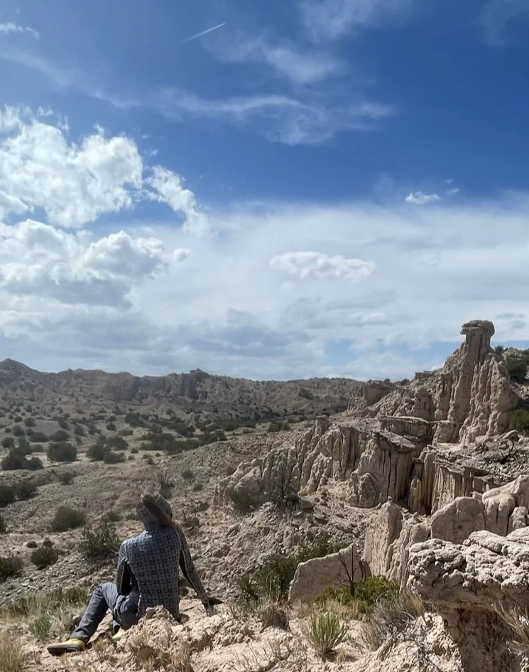
The Field
Geographic Coordinates 35.608728, -106.120017
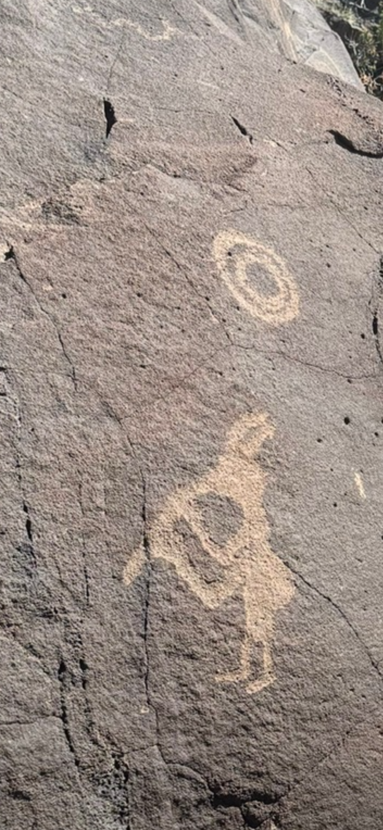
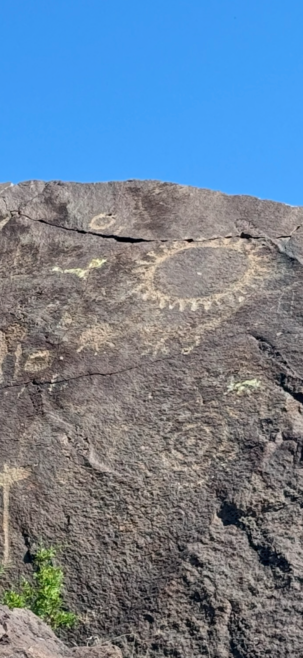
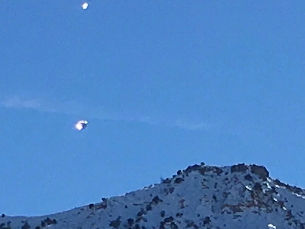
Data collection at Genesis 2 Project® (G2P) field deployment sites includes petroglyphs as historical observational records linked to the geophysical settings and Indigenous communities who created them. G2P compares their modern Unidentified Aerial Phenomena (UAP) recordings from instrument and visual monitoring with motifs preserved in these petroglyphs. The correlation helps the research team determine whether patterns in their current UAP datasets align with long-term human observations associated with the site.
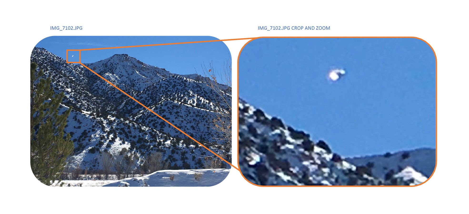
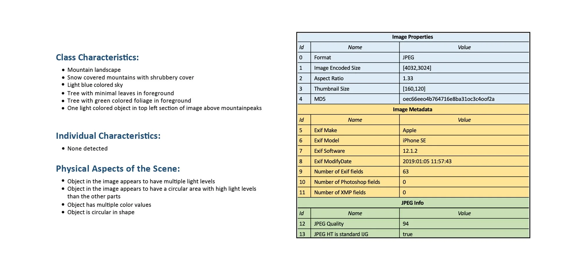
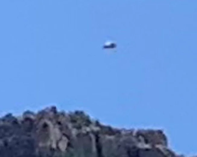
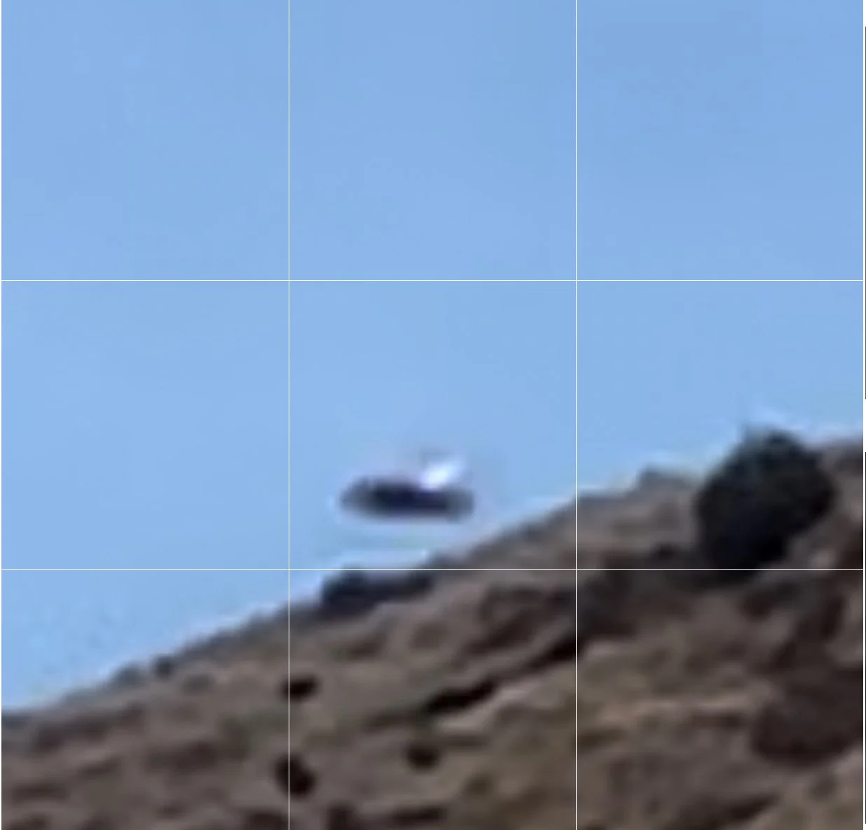
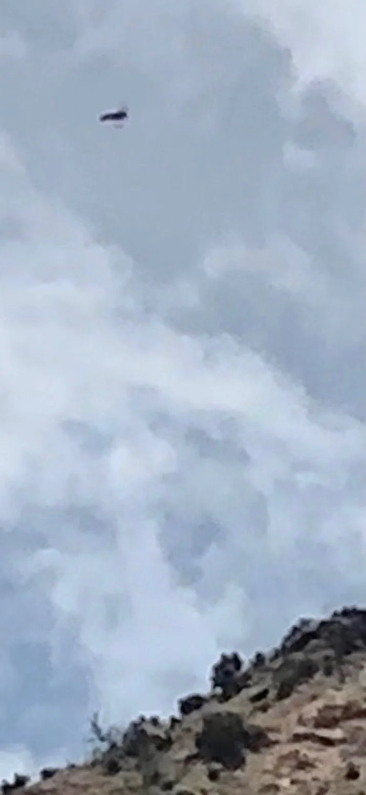
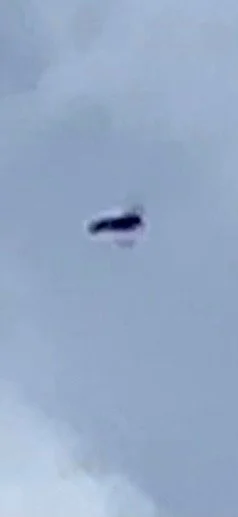
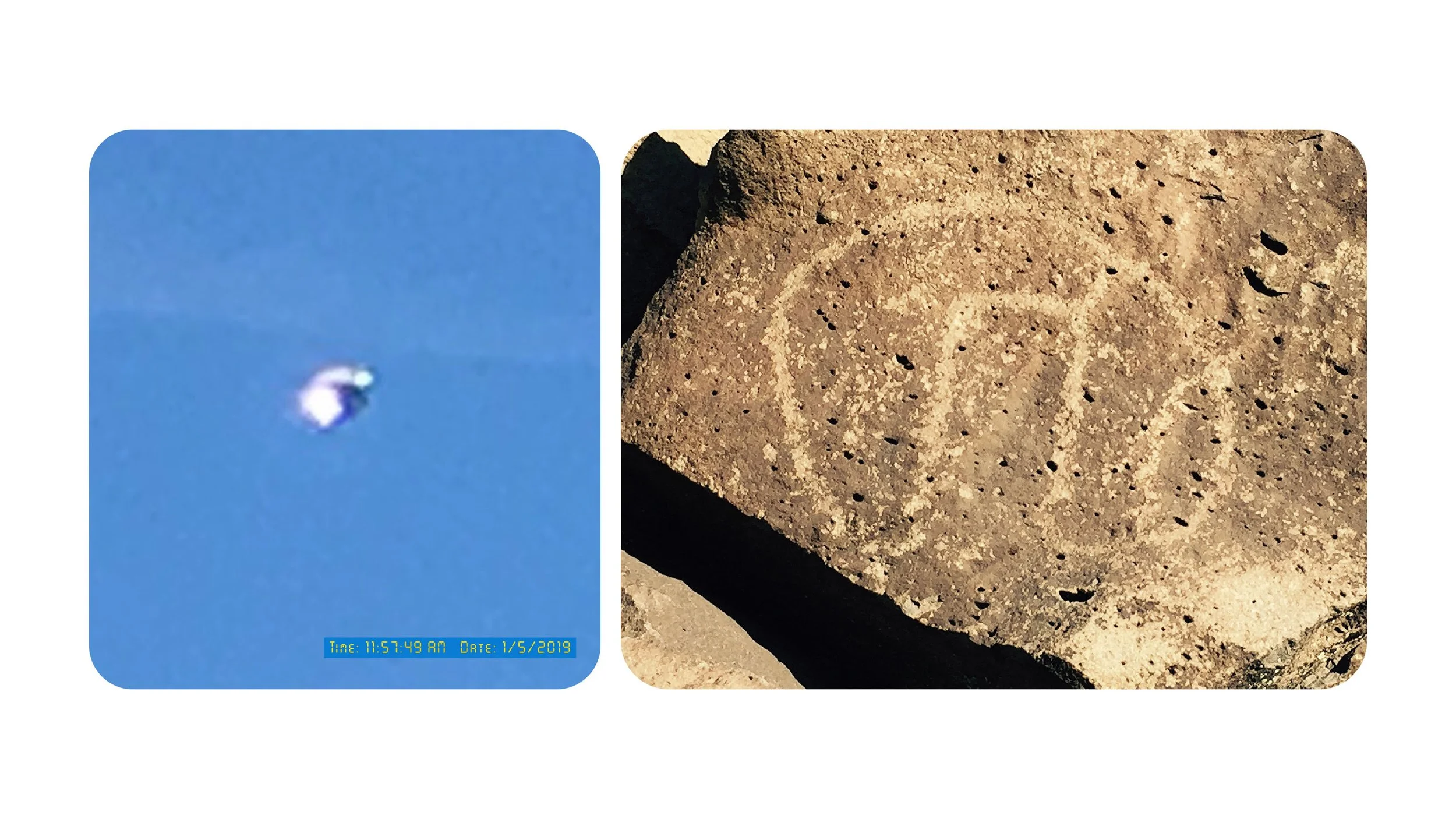
The UAP shown on the left, captured by G2P in northern New Mexico—a centuries-old hotbed of UAP activity—is significant for its striking resemblance to a petroglyph at the La Cieneguilla Petroglyph Site in Santa Fe, NM, dating to the 13th–17th centuries.